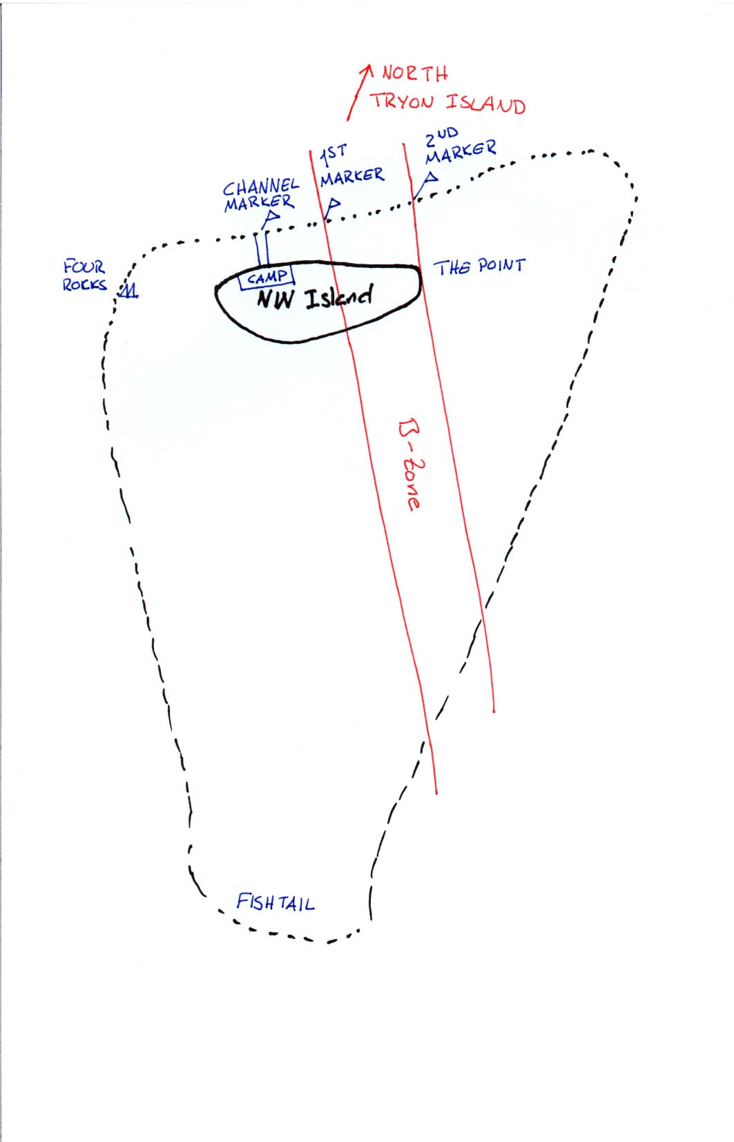
On the map above the reef is marked with a broken line. This is where the water depth drops from just a couple of decimetres at low tide (about 2m at high) to anywhere between 5 and 25m depth. The edge of the reef is where the living coral and most of the animal life are found. Outside there's mostly white sand. The region between the island and the reef edge is called the reef flat and on the northern side of the island it is possible to walk across it on low tide. Bring a pair of sturdy wetsuit boots since you sometimes have to walk on the coral and it's real sharp. You also have to watch out for stingrays and stonefish so you don't step on them. (Stepping on a stonefish might well be lethal.)
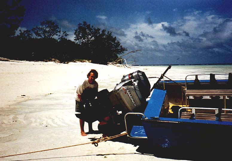
The beach consists of a strip of white coral sand. Usually this
strip is about 10m wide at high tide but at spring tide the whole
beach can become submerged. This is important to keep in mind when
mooring boats. One has to drag them all the way up to the
trees and secure them. On spring tide even this isn't enough.
Pictures of low tide
and incoming tide.
The interior is mostly covered with low bush. The ground is mostly sandy and is covered with mutton bird nests. These consist of small holes and if you step on one your foot goes right through the roof. In the summer the nests contain birds with their chicks so then you should definitely stay away. There's also a swamp in the middle of the island where mosquitos hatch when the weather has been wet. Walking between the trees one constantly gets entangled in spider webs, the spiders are big and the webs are strong so this is another reason I try to stay on the beach.
The whole Reef is classed a Marine National Park, divided into many different zones, each with their own rules. About half of Northwest Island is classified as a B-zone (see the map above) and is completely protected. Here no fishing or gathering is allowed. The limits of the B-zone is marked with poles on the reef edge (see map) and red/white cylinders on the beach.
The campsite is on the northern end of the island. It is quite large and most of the year it is almost deserted, this unlike Lady Musgrave Island where the campsite is so small it often gets crowded, something I really would not enjoy. In the campsite there are three toilets with big tanks under them where the waste is decomposed. Due to solarcell-powered fans the smell is almost negligible. On the other hand there are giant huntsman spiders around that can make a visit pretty unpleasant. Nowhere on the campsite are open fires allowed and all cooking has to be done on gas stoves. (The reason is that the ash makes the sand dark, this is ugly but it also makes the sand absorb more heat which results in all turtles hatching as males !)
The boat channel (marked on the map) is a strip that's been cleared of coral. This saves lots of propeller blades and it's also a saves your feet when you walk to the reef edge. The reef off the channel marker is pretty boring though since anchor chains have killed most of the coral.